
Mapping the future of farming at Piopio College
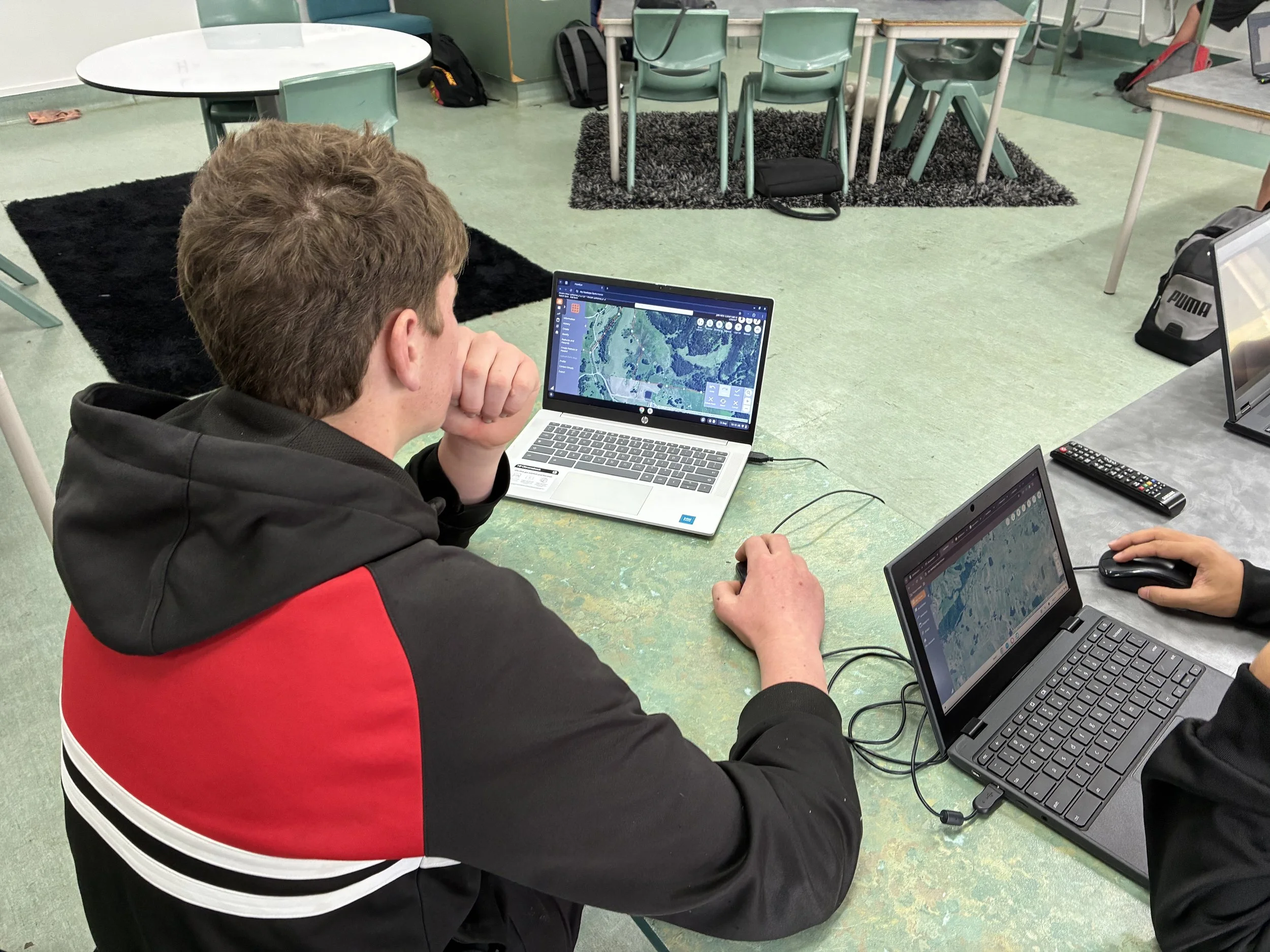
Piopio College agriculture students have gained hands-on experience with the technology used to plan aerial fertiliser spreading across New Zealand farms.
Kimberley Cody, from Aerowork’s Te Kūiti and Taumarunui team, recently visited the school’s agriculture class to teach students how digital farm mapping helps farmers plan where fertiliser should—and should not—be applied.
Each student was given access to HawkEye, Ravensdown’s farm mapping and nutrient management software. Students could work with maps of their own family farms or use the small farm located on the Piopio College grounds.
Under Kimberley’s guidance, the students drew application areas, measured paddocks and identified exclusion zones. They also learned how information recorded on a farm map can be used to plan an aerial fertiliser application for the Aerowork team.
Exclusion zones are an important part of aerial application planning. They allow waterways, wetlands, native vegetation, buildings, tracks, stock areas and other sensitive or unsuitable locations to be clearly marked so pilots know where fertiliser should not be applied.
Kimberley said the session gave students the opportunity to explore the technology themselves while understanding how it connects to practical work on a farm.
“The students were able to draw their own application areas, calculate how much land was included and identify the places that needed to be excluded,” Kimberley said.
“It helped them understand why an accurate farm map matters and how the information they enter can support good decisions before the aircraft even arrives.”
As part of the class they learnt about the accurate mapping can provide both financial and environmental benefits for farmers. Clearly defining the application area helps ensure fertiliser is directed to the land where it is required, reducing unnecessary application and helping farmers get better value from their fertiliser investment.
The HawkEye programme allows farmers to map exclusion zones to help protect waterways, wetlands and other sensitive areas, while keeping clear records of fertiliser orders and application areas. These digital records can support environmental planning, nutrient reporting and farm assurance requirements.
The lesson also delivered a practical result, with agriculture teacher Lynette Perrett using HawkEye to place an aerial lime order for her own farm, which Aerowork is now preparing to complete.
Lynette said the practical nature of the session helped students understand how digital tools are being used in modern agriculture.
“The students really enjoyed being able to work with actual farm maps and learn not only how to use the technology, but why the information is important,” Lynette said.
“There was a high level of engagement across the class, and most of the students wanted to continue working on their maps during the next lesson.”
For students from farming families, the session provided skills they could take home and apply to their own properties. For others, it offered an introduction to the range of planning, technology and aviation roles that contribute to agricultural production in New Zealand.
Kimberley said connecting with young people was a valuable opportunity to share the knowledge behind aerial spreading and show that every successful application begins well before take-off.
‘Aerial spreading is about much more than flying over a farm, she said. It involves understanding the land, identifying sensitive areas, planning the right application area and making sure everyone involved has clear and accurate information.
These students are the next generation of farmers and rural professionals. Giving them the opportunity to use the same tools being used across the agricultural sector helps prepare them for where farming is heading.”
The session reflects Aerowork’s commitment to supporting rural communities and sharing the skills, technology and local knowledge behind safe, accurate and environmentally responsible aerial application.